Site Surveys Explained: Which Survey Actually Answers Your Question
A redesign after the foundations are already poured is one of the most expensive mistakes on a building site. It rarely comes from skipping a survey altogether. It comes from commissioning the wrong one — or assuming that one report can answer a question it was never built to answer.
The word "survey" gets used as a catch-all. In practice, a site survey is a comprehensive examination that can cover topography, soil type, vegetation, climate, existing structures and utilities, and surrounding land use, all at once. But these are not a single investigation: each of the four survey types below interrogates a different physical or legal property of the same plot of land.
A topographic survey measures shape and slope. A boundary or land survey confirms legal limits. A geotechnical investigation tests whether the soil can carry a building. A geoenvironmental investigation checks whether the soil is safe to disturb. Conflating any two of these is one of the ways a question goes unanswered until excavation has already started.
Key Takeaways
- A topographic survey measures elevation change across a site and converts it into contour lines showing shape, slope and drainage paths.
- A boundary or land survey starts with deeds, subdivision plans and recorded documents, then confirms property limits in the field.
- A geotechnical investigation tests the physical properties of soil — bearing capacity, excavation stability, drainage, buried concrete recommendations.
- A geoenvironmental investigation tests the chemical properties of soil and groundwater to assess risk to health or environment.
- Ground investigations are rarely self-sufficient: commissioning utility detection and a topographic survey alongside is commonly advised, with scope matched to the site.
What Does a Topographic Survey Actually Measure?
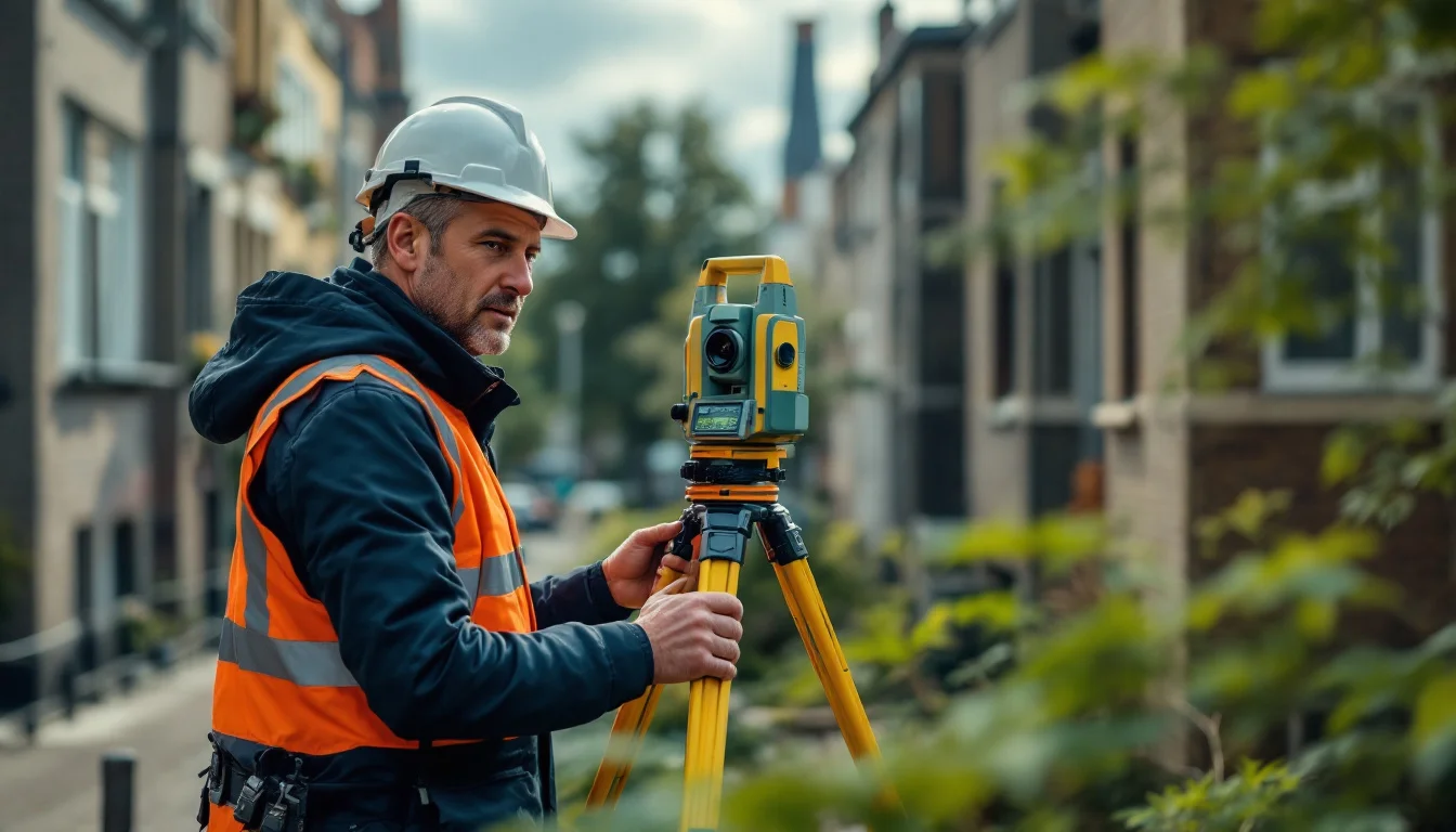
A topographic survey answers a single question: what shape is this piece of land? It measures changes in elevation across the site and converts that data into contour lines, the lines on a plan that trace points of equal height. From those contour lines, a designer reads the overall shape and slope of the plot.
That data is more concrete than it sounds. A proper topographic survey reveals high and low areas, drainage paths, depressions, existing retaining walls and embankments, and the elevation difference between the plot and the surrounding roads or neighbouring properties.
This is not decorative information. Engineers use topographic data for grading, stormwater design, road and utility layout, and for setting building elevations. Without it, a design can misjudge where water actually goes once it rains — and a design that gets that wrong doesn't just flood a basement, it can also push water onto a neighbour's land.
What a topographic survey does not do is tell you anything about what's under that surface. Slope and drainage are a surface question. Whether the soil beneath that slope can bear a foundation is a completely separate question, answered by a different investigation entirely.
What Does a Boundary or Land Survey Confirm — and What Does It Miss?
A boundary survey is not primarily a field exercise. It starts at a desk. Surveyors research deeds, subdivision plans, recorded documents and existing monuments before they ever go out to measure anything on the ground. The field measurements that follow exist to confirm — or correct — what the paperwork says.
That documentary-first approach is what makes a boundary survey structurally different from a topographic or geotechnical investigation: it is checking a legal-physical fact, not a soil or elevation fact.
What it can reveal is specific:
- Structures sitting near, or over, a property line
- Encroachments from a neighbouring plot
- Differences between what the recorded documents say and what actually exists on site
- Markers that were placed incorrectly at some point in the plot's history
- A recorded easement or right-of-way that a proposed building or wall would conflict with
Geotechnical vs. Geoenvironmental: Physical Ground vs. Chemical Ground
The two are easily confused because both investigations involve drilling into the same ground, often with similar-looking equipment. The difference is what they're testing for.
A geotechnical investigation tests the physical properties of the soil: how it behaves under load, how stable it stays during excavation, how it drains, and what that means for foundation design and any buried concrete. A geoenvironmental investigation tests the chemical properties of the soil and groundwater, to assess whether the site poses a risk of harm to human health or to the environment.
| Aspect | Geotechnical investigation | Geoenvironmental investigation |
|---|---|---|
| Primary focus | Physical soil behaviour | Chemical soil and groundwater content |
| Stated purpose | Foundation, excavation stability, drainage, buried concrete recommendations | Risk assessment for human health and the environment |
| Typical detailed assessment | Basement impact assessment, slope stability study | Contamination risk assessment |
On straightforward sites, a basic geotechnical reading is enough to size a foundation. On more complex plots — a steep slope, a planned basement, a history of industrial use nearby — the geotechnical side can expand into a basement impact assessment or a slope stability study, while a suspect history on the land can push the geoenvironmental side toward a fuller contamination assessment. Neither report substitutes for the other, and a basement that's structurally sound can still sit on soil that shouldn't be disturbed without precautions.
Inside a Ground Investigation: From Desk Study to Final Recommendation
A "soil report" handed to a self-builder is rarely the output of a single site visit. It's the last link in a chain, and understanding that chain explains why two reports on the same plot can say different things if one stage was skipped.
It starts with a desk study: historical records, geological maps and environmental data are reviewed before anyone sets foot on site, to flag likely ground and groundwater conditions and any contamination risk worth checking physically.
That desk study decides the method used on site. Three tools are common, and the choice between them is matched to the actual question being asked:
- Boreholes, for deep samples
- Window sample holes, for near-surface conditions
- Probing and trial pits, to check composition and stability
Which Survey Answers Which Question? A Practical Framework
Most of the confusion around site surveys disappears once the question is reframed. Instead of asking "do I need a survey?", the useful question is: what, specifically, do I need to know — and which investigation was built to answer that?
| Survey type | Question it answers | Method | What it does NOT tell you | When to commission it |
|---|---|---|---|---|
| Topographic survey | What shape is the land, and where does water go? | Elevation measurement, contour mapping | Soil bearing capacity, legal boundaries | Before grading, drainage or layout design |
| Boundary / land survey | Where exactly does my property end? | Deed and document research, then field measurement | Soil quality, contamination, slope stability | Before any structure is placed near a property line |
| Geotechnical investigation | Can the ground carry this foundation? | Desk study, then boreholes, window samples or trial pits | Chemical safety of the soil, legal limits of the plot | Once a building footprint and loads are roughly known |
| Geoenvironmental investigation | Is the soil or groundwater safe to disturb? | Desk study plus chemical sampling of soil and groundwater | Structural bearing capacity, property boundaries | Where prior land use raises contamination risk |
The practical implication is in the last column, not the first. A topographic survey commissioned at the sketch-design stage prevents a drainage redesign later. A boundary survey commissioned before the footprint is fixed prevents a wall from landing on an easement. A geotechnical investigation only becomes meaningful once there's a rough footprint and load to test against — ordering it too early wastes the interpretative step. And because ground investigation alone rarely covers utilities or surface shape, it's generally commissioned alongside, not instead of, a topographic and utility check, matching the scope — depth, method, testing level — to the site's actual ground conditions, access constraints and development type.
Frequently Asked Questions
Can a topographic survey replace a geotechnical investigation? No. A topographic survey's contour lines tell a designer where surface water will move once the building is in place; a geotechnical borehole tells you whether the ground directly under a planned foundation can actually bear the load. A slope profile that maps drainage says nothing about whether the soil beneath that slope will settle under a concrete footing — that question belongs to the geotechnical investigation alone.
Does a survey confirm what I'm allowed to build? Surveyors do not typically make zoning or planning determinations unless that's explicitly part of the scope. What a survey does provide is the measurements — setbacks, buffers, height references, distances between structures — that those determinations are checked against.
Does a boundary survey settle environmental questions on a plot? A standard boundary or topographic survey does not automatically establish environmental status. Visible features such as streams or wetland flags can be located and noted on engineering drawings, but confirming environmental risk in more depth is the geoenvironmental investigation's job.
How long does a ground investigation actually take? Indicative figures from one UK ground investigation contractor suggest most site work runs 1 to 5 days, depending on site size, access, contamination risk, testing requirements and any legacy mining history, with the interpretative report following roughly 10 to 20 working days after that. The same contractor notes that most developments in that market commission at least a desk study, with many also requiring an intrusive investigation before work proceeds. These are figures from one UK contractor's stated practice, and timelines will vary with the site and the firm involved.
The Real Cost of Getting the Order Wrong
The sequencing matters more than any single report. A boundary check and a topographic read belong early, before a footprint is fixed, because both can quietly redraw where a building is allowed to sit. A geotechnical and, where relevant, a geoenvironmental investigation belong once that footprint is roughly known, because that's the only point at which their findings attach to a real design.
The open question for anyone starting a project isn't whether a survey is worth the cost. It's how early they're willing to commission the full set, rather than the cheapest single one, before a design decision locks in a question none of the reports were ever asked to answer.